Purpose and Considerations
To provide direction to local governments charged with implementing the buffer law, specifically for determining the average width if a variable buffer width is being applied and no alternative practices are being used.
Statutory Requirements
The Buffer Law requires buffer widths based on the classification of the waters identified on the Buffer Protection Maps. These widths are defined for public waters and public drainage systems.
Public waters
For all public waters, the more restrictive of:
- a 50-foot average width, 30-foot minimum width, continuous buffer of perennially rooted vegetation; or
- the state shoreland standards and criteria adopted by the commissioner under section 103F.211;
Public drainage systems
This law applies to public drainage systems established under chapter 103E. The required buffer width is a minimum of 16.5-feet continuous buffer as provided in section 103E.021, subdivision 1. The buffer vegetation shall not impede future maintenance of the ditch.
The width of a buffer must be measured from the top or crown of the bank, as required by Minnesota Statutes §103F.48, Subd. 3(c). Where there is no definable bank, measurement must be from the edge of the normal water level.
Additionally, riparian buffer areas enrolled in the federal Conservation Reserve Program (CRP), or under an active application to enroll, are exempt from the buffer width requirements above (see Minnesota Statutes §103F.48, Subd. 5). See the Buffer Program CRP Exemption guidance for the appropriate accounting of the land under these contracts.
Implementation Guidance
For 50’ Average Width Buffers:
- Each side of a water body, within a given parcel, must independently meet the 50’ average width where applicable.
- The buffer must be at least 30 feet in width, as measured perpendicularly from the top/crown of bank or normal water level outward from the water body.
- To determine the required buffer area for one side of a waterbody the following methods are recommended:
GIS or equivalent procedures
- Delineate the top/crown of bank or normal water level
- Offset this line 50 feet outward from the water body.
- The area calculated between these lines, and ended at parcel boundaries or change in width requirement, is the area needed to meet the 50-foot average.
- Determine the area of buffer installed and compare to the area identified above.
- If more buffer exists and is not narrower than 30 the buffer is compliant
- If less buffer exists or is narrower than 30’ in any location additional buffer area may be needed.
OR
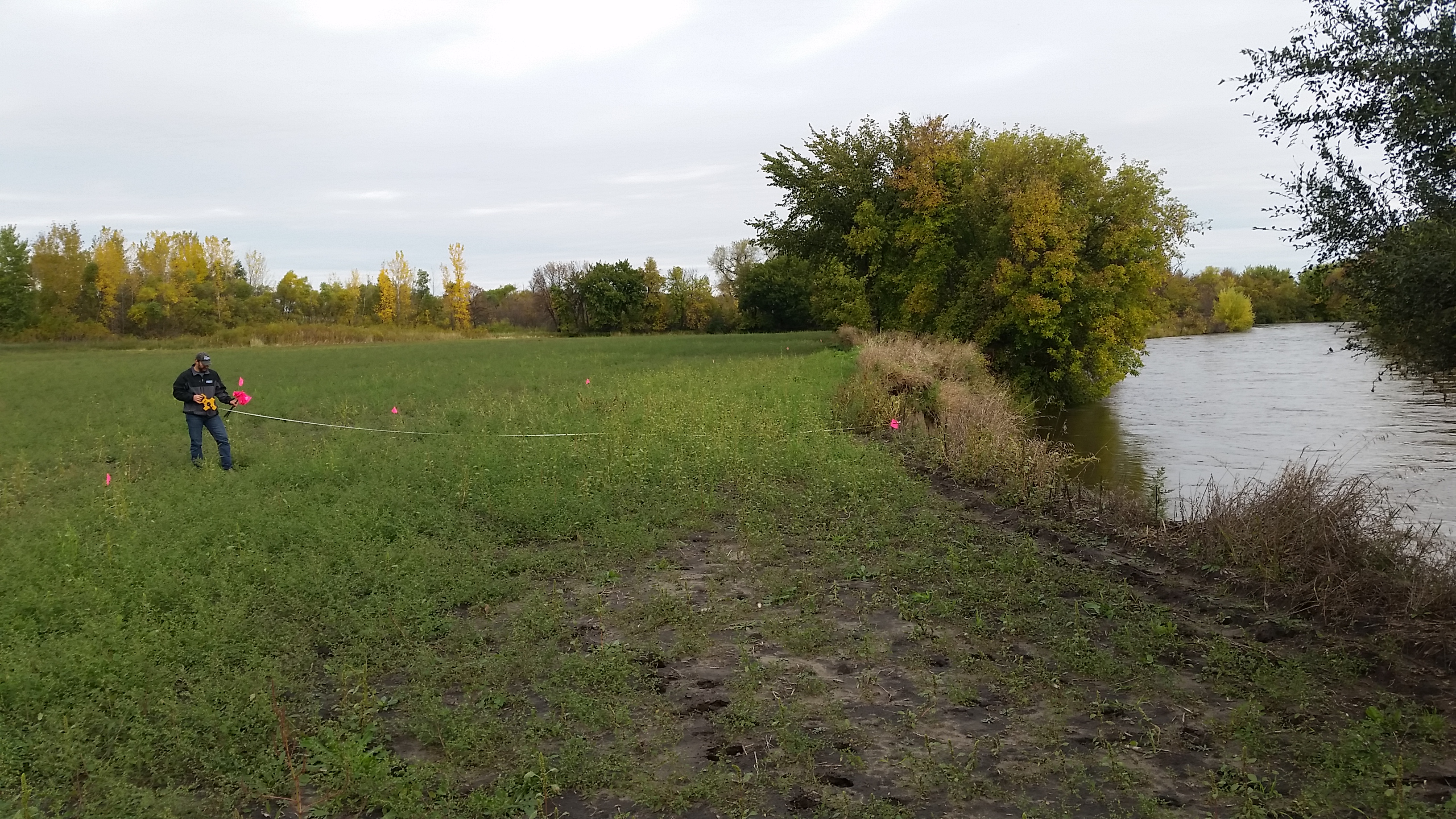
Hand measurement using the following procedures
- Measurements will occur at intervals no greater than 100’ with one measurement at the beginning and end of the buffer being measured.
- Calculate the average width of all measurements for a given buffer
- Vegetation associated with a linear feature which is not generally parallel to the water body and contiguous with the buffer does not count towards the average width. Examples include, but are not limited to;
- A vegetated field road that runs away from the water body
- A vegetated field road running through a parcel but separated from the buffer area by annual row crops
- Vegetated fence line that runs away from the water body or around a field