PTMApp maintenance and enhancement work has progressed through the pandemic. A few highlights include:
- PTMApp Web Application: BWSR through MnGEO recently deployed a new version of the PTMApp Web Application on Friday, October 6, 2021. The new version includes the following updates:
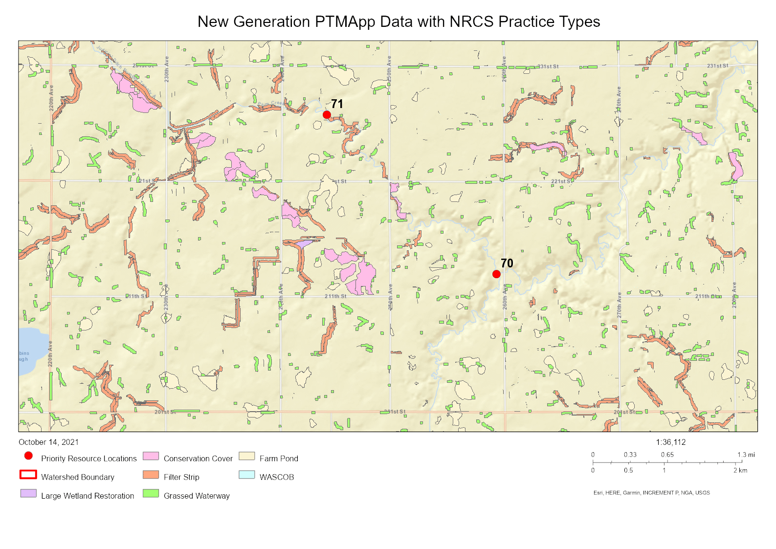
- New Generation PTMApp Data: Datasets that have been updated to newest generation of PTMApp datasets that include NRCS practice types can now be viewed and queried within the PTMApp web application. See example in the map below. BWSR is planning to work towards updating all PTMApp datasets to the newest version of the model in the next two years.
- Scenario Builder Finalized: The beta version of the Scenario Builder was finalized to include more robust screening capabilities, ability to export tabular data in a CSV file from a scenario run, and the ability to utilize the newest generation of PTMApp datasets that include NRCS practice types.
- New Statewide Layers: Under the Interactive Map, you can now add watershed boundaries, water quality monitoring station locations, impaired streams, and the National Land Cover Dataset (NLCD) layers to your map.
- Future Training: BWSR will work with our vendor to provide a webinar training on the updated PTMApp Web Application and what is new. Also, additional training videos will also be developed in the next 3-6 months and will be posted to the PTMApp Learning Center site.
- PTMApp Desktop Model: Earlier this year, an updated version of the PTMApp model was made available here. Two major changes were made to the model. First, the cost values associated with BMPs were updated to now include both life cycle costs and BMP establishment costs. Second, the six BMP treatment groups have been replaced by 24 specific NRCS practice types, which enhances how the model displays and characterizes BMPs. The model can be run on Arc GIS 10.5, 10.6, and Arc Pro 2.5, but BWSR will be releasing the model shortly to be compatible with Arc GIS 10.7 and 10.8, and Arc GIS Pro 2.8. If you plan to run the PTMApp model on your own in the next month, please contact Matt Drewitz directly to get a copy of the newest toolbar.
- DNR Travel Time Tool Update: BWSR is working with MNIT@DNR to update the Travel Time Tool, which is one of the critical inputs when running the PTMApp Desktop model. The goal is to update the tool be compatible with newer versions of Arc GIS/Pro software, optimize the tool to run more efficiently, and streamline the steps of using the tool. The goal is to complete the update of this tool by the end of November 2021 and post the updated tool to the MnGEO Commons when completed. BWSR plans to work with MNIT@DNR long term to keep this tool updated over time.
BWSR will be working to develop plans for PTMApp training post-pandemic. If you have PTMApp questions or training needs, please contact Matt Drewitz, BWSR Measures and Outcomes Coordinator, or Henry Van Offelen, BWSR NW Clean Water Specialist.